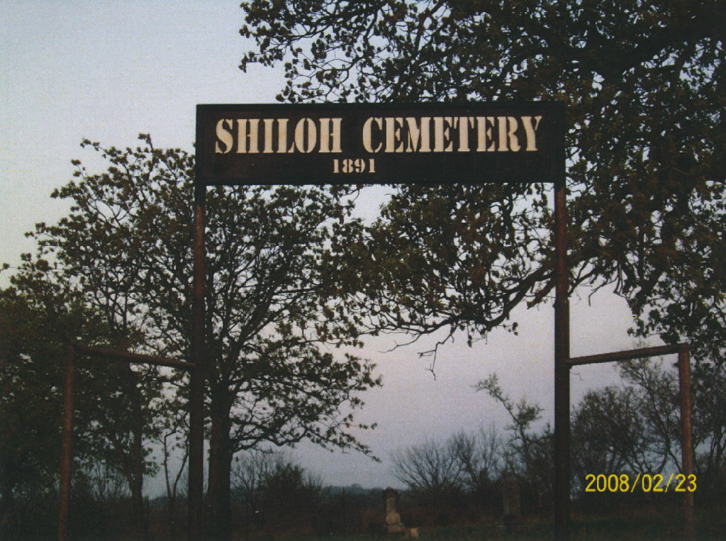
Shiloh Cemetery
A Texas Historic Cemetery
Cemetery Quick Links
Adams on CR 410
Adams on CR 262
Algerita
Baker Family
Bend
Big Uncle
Bowser Bend
Brister Ranch Grave
Brown, Shorty
Butcher
Catclaw (Weems)
Cedar Brake Cemetery
Chappel Cemetery
Cherokee (Hanna)
China Creek
Colony
Crawford
Clark, W. N. Family
Davidson
Deer Creek
Ellis (Rock Shoals)
Estep Family
Farr
Feazle Rock
Harkeyville
Harmony Ridge
Harris
High Valley
Hillcrest
Hinton
Holt
Jones
Kelley Family
King Family
Kuykendall
Latham
Linn
Locker
Mahan
Maxwell
May
McCarty
McConnell grave
McMillin
McPherson
Merrill Graves
Mesquite
Montgomery
Neel
Richland Springs (not available)
San Saba City
Shaw Bend
Sides
Sloan (Henderson)
Smelzer (Rough Creek)
Smith, John Wesley Family
Spring Creek
Sutton
Terry
Union Band
Varga Chappel
Union Band
Wallace Creek
 Location:
The Shiloh Cemetery is located in northwest San Saba County in the community of Shiloh about five miles north of Richland Springs. The cemetery is situated about a stone’s throw to the south of the intersection of CR 229 and CR 246.
GPS: Latitude: 31. 3319o N Longitude: 98. 9118o W
Direction: From the town of Richland Springs off of U. S. Highway 190
- Turn north onto FM 45 and go north 4.6 miles to Shiloh Cemetery sign and CR 229.
- Turn right onto CR 229 (unpaved) and go east 2.2 miles to the intersection of county roads 229 and 246.
- Turn right onto CR 246. The Shiloh Cemetery is located on the right about 60 yards south of the intersection.
Condition:
The Shiloh community, once known as Pumpkin Center, was established in the mid 1880’s. The date of the first burial in the community cemetery is not known since most of the graves are marked only with native sandstone rocks without inscriptions. The oldest extant gravestone with an inscription is that of an infant who died in 1892. Apparently the plot was abandoned as a burial ground in the late 1920’s and has been neglected over the past seventy or more years. On a first attempt to inventory this cemetery in 2008 it was found to be completely consumed by tall grass, cacti, thorn bushes, tangled briars and mesquite brush. However, in December of 2009, Steve Brown, his father and mother, Mr. and Mrs. Thomas D. Brown, with the help of neighbor Roy Shannon, cleared the cemetery of briars, tall grass and underbrush. Steve Brown then did an inventory of gravesites complete with photographs of all tombstones and grave markers. A report of his work is available for study in the history section of the Rylander Memorial Library in San Saba, Texas.
The new sign was constructed by Tom Alston.