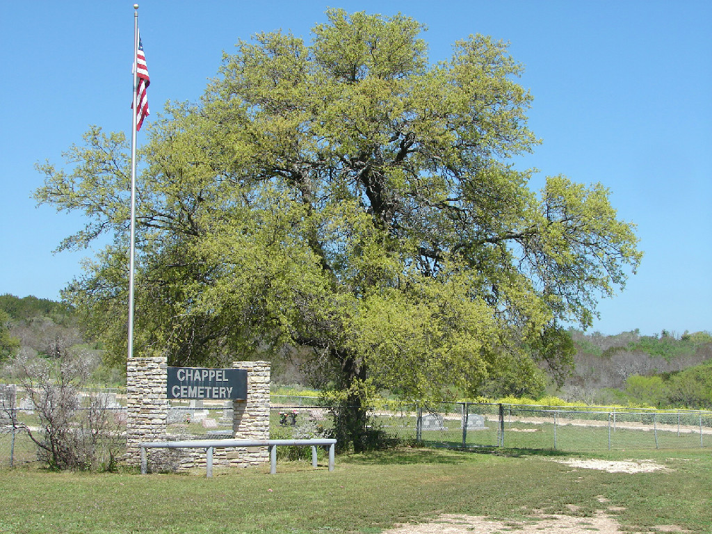
Chappel Cemetery
Cemetery Quick Links
Adams on CR 410
Adams on CR 262
Algerita
Baker Family
Bend
Big Uncle
Bowser Bend
Brister Ranch Grave
Brown, Shorty
Butcher
Catclaw (Weems)
Cedar Brake Cemetery
Chappel Cemetery
Cherokee (Hanna)
China Creek
Colony
Crawford
Clark, W. N. Family
Davidson
Deer Creek
Ellis (Rock Shoals)
Estep Family
Farr
Feazle Rock
Harkeyville
Harmony Ridge
Harris
High Valley
Hillcrest
Hinton
Holt
Jones
Kelley Family
King Family
Kuykendall
Latham
Linn
Locker
Mahan
Maxwell
May
McCarty
McConnell grave
McMillin
McPherson
Merrill Graves
Mesquite
Montgomery
Neel
Richland Springs (not available)
San Saba City
Shaw Bend
Sides
Sloan (Henderson)
Smelzer (Rough Creek)
Smith, John Wesley Family
Spring Creek
Sutton
Terry
Union Band
Varga Chappel
Union Band
Wallace Creek
The Chappel Cemetery is located in southeast San Saba County in the Chappel Community on land donated by J. B. Harrell. It is located at the junction of CR 424 (Chappel Road) and FM 501.
GPS: Latitude: 31.0559o N Longitude: 98.5721o W

DIRECTIONS:
• From the city of San Saba at the northeast corner of the court house square and the junction of U. S. Highway 190 and FM 1031
• Turn south onto FM 1031 and go 9 miles to pavement end and junction with CR 424.
• Follow CR 424 (unpaved) south 5.4 miles to the junction with FM 501 at Chappel Methodist Church and Chappel Cemetery.
• To enter the church-cemetery parking area visitors should turn right onto FM 501. The gate to the parking area is on the right off of FM 501.
CONDITION:
This old cemetery, established in the 1860’s, has served as a burial ground for the surrounding community to the present. The cemetery is located on land donated by J. B. Harrell and conveyed by warranty deed to the Methodist Episcopal Church South. This deed is recorded in the official public records of San Saba County in Vol. N, page 304.
The cemetery is in remarkably good condition and is well-maintained. The cemetery is an area of about 2.5 acres enclosed by a four foot high chain-link fence. There are four gates into the cemetery. The main entrance from the parking area is a 12 ft. wide gate near midpoint in the east fence line. For detailed information on this cemetery, see page 431 in San Saba County History, Vol. I 1856-1983 and pages 287-288 in San Saba County History Vol. II 1856-2001.